Portfolio
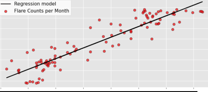
Automate gas flaring detection to predict oil poduction using VIIRS
Used VIIRS nighttime observations to detect gas flaring and predict oil production
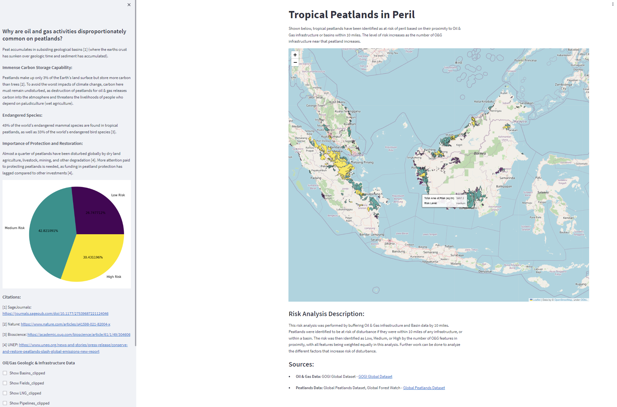
Identification of peatlands at risk from oil & gas extraction
Personal project experimenting with streamlit dashboards
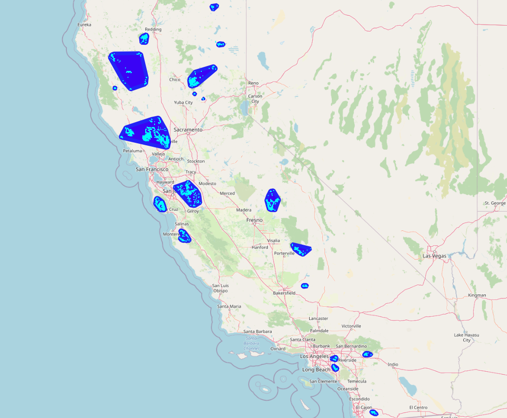
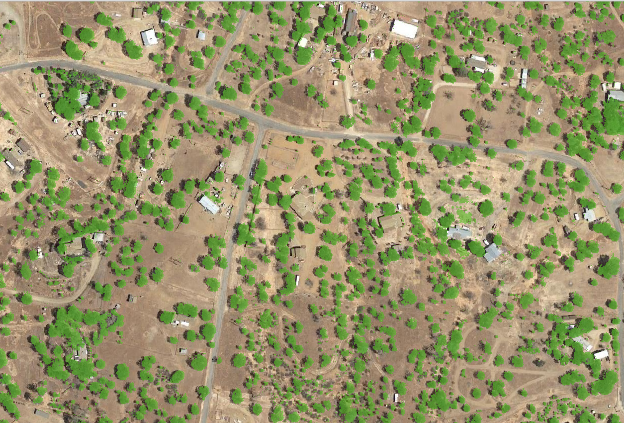
Defensible Space Analysis
Research project to determine the effectiveness of defensible space on wildfire losses
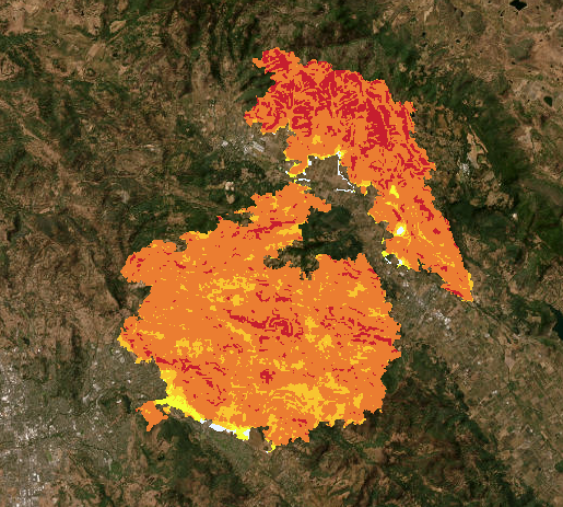
Automate Fire Summary Statistics
Generate risk statistics for customer communications and marketing
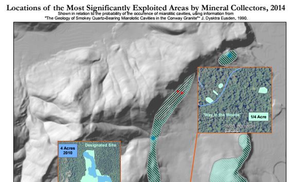
Minerals data collection and management
Preserving natural resources while protecting hobby mineral collection on White Mountain National Forest
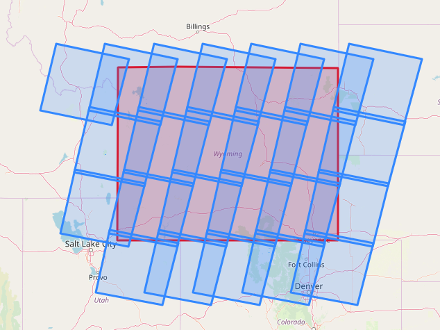
Retrieve post-fire Landsat 8 imagery via S3
Retrieve post-fire Landsat 8 imagery
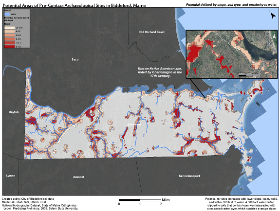
Pre-Contact Archaeological Potential
Determine the likelihood of pre-contact archaeological deposits in need of protection
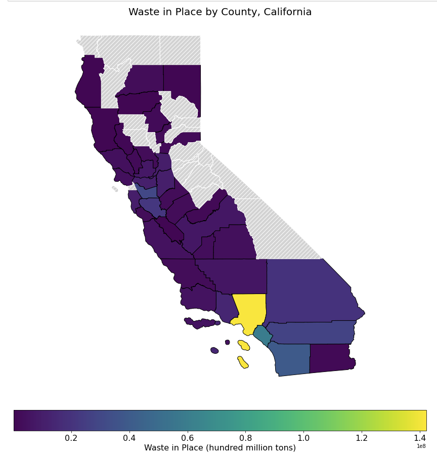
Landfill Methane Intensity Analysis
Analyze landfill emissions and get county-level statistics
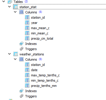
Simple Weather API endpoint
Store data and analysis in database and deploy a flask app
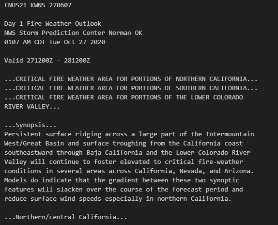
Automate fire weather forecast
Automate fire weather forecast and email to stakeholders
Stream COGs and save processed data
Use Cloud Optimized Geotiffs to perform analysis in the cloud
