About Me

I’m a geospatial analyst with excellent analysis and python skills. Most recently I was at Element 84 where I created python based data processing pipelines and analysis ranging from detecting gas flaring to automating the processing of drought/agricultural indicators for a client’s dashboard.
Before that, I was a senior geospatial analyst at Verisk working on wildfire risk analytics for the insurance industry.
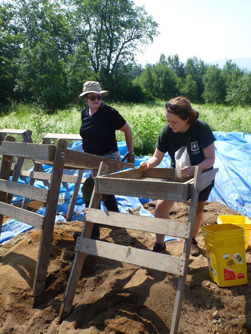
I’ve also worked in real estate and public lands management in both natural resources and cultural resource management.
My favorite thing is to figure out how to model a problem to solve it using code and geospatial data.